
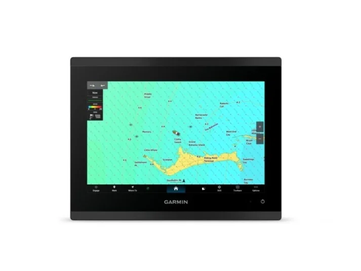
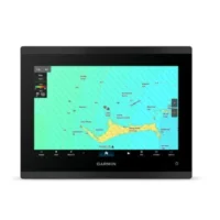
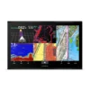
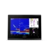
Garmin GPSMAP9210 10in Plotter With US and Canada GN+
Model: 010-03175-01
- 10in model features full HD display
- Glass helm with edge-to-edge design for seamless and modern look
- Processing power is up to 7 times faster than previous generations for superior performance, plus get faster wireless ActiveCaptain(R) app transfer speeds with 5GHz Wi-Fi(R) connectivity
- Enjoy premium sailing features, such as sailing polars, plus see laylines, race start line guidance and more with Garmin?SailAssistTM features
- Build extensive networks with reliable connectivity and gigabit speeds on the Garmin?BlueNetTM network
- Enjoy high-quality entertainment with video integration capabilities with HDCP distribution
- Uses the NMEA?2000(R) and NMEA?0183(R) networks to connect to your compatible autopilots, sensors and more; compatible with existing marine ecosystems
- Take command of monitoring, control and automation systems with support for the EmpirBusTM system and other third-party solutions via OneHelmTM integrated digital switching
- Keep tabs on engine performance with extensive engine integration, including SAE J1939 connectivity and a wide range of support for outboard engine manufacturers
- Navigate with preloaded Garmin?Navionics+TM charts with Auto?Guidance+TM technology (for planning purposes only and does not replace safe navigation operations); get support for Garmin?Navionics?Vision+TM charts with premium features such as high-resolution relief shading
- Connect your compatible Garmin devices and more with integrated BLUETOOTH(R) and ANT(R) technologies; use spoken commands to control the chartplotter with your compatible headset or Garmin smartwatch
- Built for harsh marine conditions with an IPX7 water-resistance rating
GPSMAP(R) 9210 is the integrated touchscreen chartplotter designed for captains who demand the best. Enjoy edge-to-edge clarity with a high-resolution display on a glass helm with premium design and materials. Plot your paradise faster than ever with processing power that’s up to 7 times faster than previous generations, and get 5GHz Wi-Fi(R) connectivity for ActiveCaptain(R) app updates. Get a connected boating experience by linking your compatible MFDs, cameras, sonars and more on the gigabit-speed Garmin?BlueNetTM network. The full suite of Garmin?SailAssistTM features allows you to see wind speed, direction and other critical data at a glance. When your hands are full, use spoken commands to operate the chartplotter (compatible headset or smartwatch required; not included). Navigate on the water with preloaded Garmin?Navionics+TM charts, or upgrade to premium Garmin?Navionics?Vision+TM charts. Garmin?Navionics+ comes with Auto?Guidance+TM technology, which helps you navigate and avoid land- and water-based obstacles based on chart data (for planning purposes only and does not replace safe navigation operations).
Specifications
| 5.55 lbs (2.52 kg) | |
| DIMENSIONS (HxWxD) | 10.24in x 7.87in x 3.54in(26.0 cm x 20.cm x 9.1 cm) |
What’s in the Box:
- Chartplotter
- microSDTM preinstalled
- Power cable
- 2-meter backbone/drop cable and T-connector for the NMEA 2000(R) network
- Flush mount kit
- Bail mount
- Protective cover
- Documentation